
وبلاگ دکتر علی کلانتری اسکوئی
وبلاگ علمی،آموزشی و خبری در رابطه با سامانه اطلاعات مکانی(GIS)
وبلاگ دکتر علی کلانتری اسکوئی
وبلاگ علمی،آموزشی و خبری در رابطه با سامانه اطلاعات مکانی(GIS)
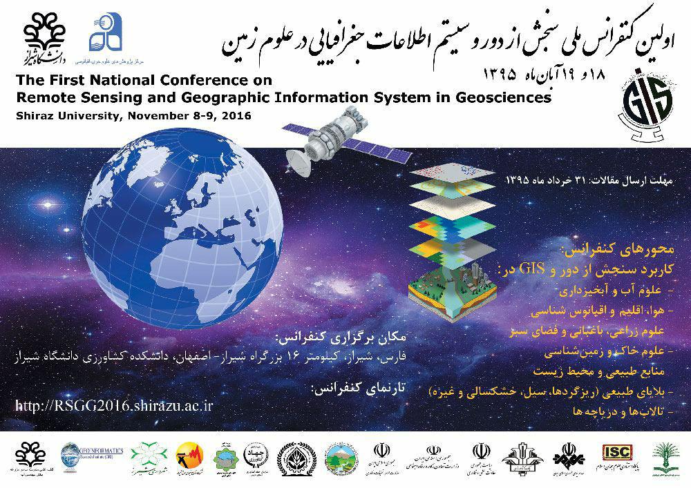
ورژن جدید Ilwis
ILWIS 4 coming up: sneak preview
راه اندازی سایت تخصصی زیرساخت اطلاعات مکانی (SDI)
در این سایت (در حال توسعه) منابع مختلف در رابطه با SDI بصورت طبقه بندی شده ارائه شده است.
موتور جستجوی لغات انگلیسی
.More than 19 million words in more than 1000 online dictionaries are indexed by the OneLook® search engine
آموزش ارزیابی نتایج طبقه بندی (Accuracy Assessment) تصاویر ماهوارهای
ماتریس ابهام (Confusion Matrix) ، نحوه محاسبه ضریب کاپا و ... را در Excel ببینید.

معرفی سایت نرم افزارهای مکانی متن باز (open source geospatial softwares)
OSGeo was created to support the collaborative development of open source geospatial software, and promote its widespread use. For more information:
کتاب ریاضیات The Mathematics of GIS) GIS)
کتابی به زبان انگلیسی از Wolfgang Kainz - سال 2010 - University of Vienna, Austria
کاربرد دوچرخه بعنوان ایستگاه متحرک اندازه گیری کیفیت هوا
Fixed air quality stations have limitations when used to assess people's real life exposure to air pollutants.... Each measurement is automatically linked to its geographical location and time of acquisition using GPS and Internet time. Furthermore, the Aeroflex is equipped with automated data transmission, data pre-processing and data visualization ....

قابل توجه دانشجویان محترم GIS/RS
از تاریخ 1394/08/25 برای دریافت جزوات در همین صفحه به قسمت صفحات ویژه - ویژه دانشجویان مراجعه فرمائید. برای ورود به این بخش بایستی رمز کلاس خود را وارد نمائید.


ویدئوی آموزشی مفاهیم و مولفه های زیرساخت داده های مکانی (SDI)
این ویدئو در سایت GSDI منتشر شده است و از لینک زیر می توانید این ویدئو و چندین ویدئوی دیگر را دانلود نمائید.
http://gsdiassociation.org/index.php/publications/instructional-videos.html
The GSDI Association is an inclusive organization of academic and research institutions, government agencies, commercial firms, NGOs and individuals from around the world.The purpose of the organization is to promote international cooperation and collaboration in support of local, national and international Spatial Data Infrastructure research, education, capacity building and implementation challenges, issues and good practice from around the globe that will allow nations to better address social, economic, and environmental issues of pressing importance (Ref: http://gsdiassociation.org/index.php).